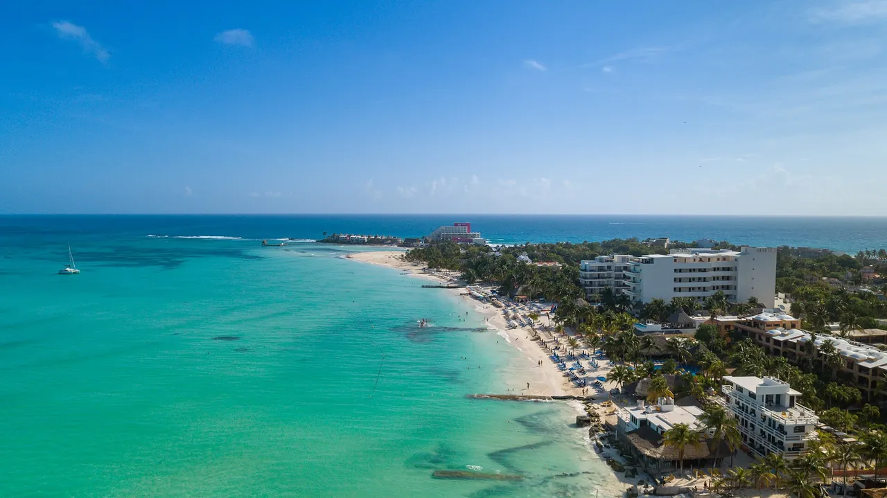
A free, structured dataset of the 18 beaches in our guide: where they are, what each has and what it costs. Reuse it in maps, apps, research or journalism; credit is all we ask.
Photo: dronepicr · CC BY 2.0
Every beach links to its page, where the context and sources live.
| Beach | Km | Blue Flag | Parking | Lifeguards | Lat, lng |
|---|---|---|---|---|---|
| Playa Las Perlas | 2.5 | ✓ | $10-20, limited | No data | 21.1547, -86.798 |
| Playa Linda | 4 | — | $150-250/day | No | 21.1445, -86.788 |
| Playa Langosta | 5 | — | Street, limited | Not permanent | 21.1451, -86.7817 |
| Playa Tortugas | 6.5 | — | $30-50/h | Yes | 21.1397, -86.7693 |
| Playa Caracol | 8.5 | — | $30-50/h | No | 21.1379, -86.7478 |
| Playa Gaviota Azul | 9 | — | $30-60/h | Yes | 21.1323, -86.7464 |
| Playa Forum | 9 | — | $30-60/h | Yes | 21.1323, -86.7464 |
| Playa Chac Mool | 10 | ✓ | $20-30/h | 9 AM–5 PM | 21.1286, -86.7492 |
| Playa Marlín | 13 | ✓ | Free (~50) | 9 AM–5 PM | 21.1039, -86.7628 |
| Playa Ballenas | 14 | ✓ | Limited | Not permanent | 21.0899, -86.7686 |
| Playa San Miguelito | 16.5 | — | Museum lot | No | 21.0957, -86.7663 |
| Playa Delfines | 17.5 | ✓ | Free (50+) | 9 AM–5 PM | 21.062, -86.7786 |
| Punta Nizuc | 22 | — | No | No | 21.0359, -86.7793 |
| Playa Coral | 25 | ✓ | Free | Yes | 21.0253, -86.812 |
| Playa del Niño | — | ✓ | Free | In season | 21.1934, -86.8059 |
| Playa Juventud | — | — | Free or cheap | No | 21.165, -86.825 |
| Isla Blanca | — | — | Roadside | No | 21.321, -86.812 |
| Playa Norte | — | — | Ferry only | Yes | 21.2606, -86.751 |
| Field | Meaning |
|---|---|
slug | URL slug of the beach page |
name | Beach name |
zone | norte = north Hotel Zone (bay), sur = south Hotel Zone (open Caribbean), centro = downtown and surroundings, isla = Isla Mujeres |
km_boulevard_kukulcan | Kilometer marker on Boulevard Kukulcán; empty when the beach is outside the boulevard |
lat, lng | Approximate point, WGS 84 (EPSG:4326) |
blue_flag | true if the beach holds Blue Flag certification in our list of 7 |
restrooms / showers / parking / food / lifeguards | Each has _status (see codes), _es and _en text |
url_es, url_en | Beach page in each language |
coordinates_note | Caveats about the coordinates |
| Code | Meaning |
|---|---|
y | available / free |
p | paid |
n | nearby, partial or limited |
x | not available |
u | no data |
This is an editorial compilation, not an official registry. Each row comes from the corresponding beach page, which cites its sources and states when it was last checked. Where we could not confirm a value we say so (for example lifeguards at Playa Las Perlas are coded u, no data).
Coordinates are approximate points derived from OpenStreetMap. Playa Forum and Playa Gaviota Azul share a point because they are adjacent stretches at Km 9, and the points for Playa Juventud and Isla Blanca have not been verified on the ground. Prices change; treat them as a guide.
Found an error? Tell us and we will correct the dataset and the beach page.
Playas de Cancún (2026). Cancun beaches open data. Andrés S. Botta. https://playasdecancun.com/en/open-data/ (CC BY 4.0).
Yes. CC BY 4.0 allows commercial use and adaptation as long as you credit PlayasdeCancun.com and indicate any changes.
When a beach page changes. The date at the top of this page and the updated field in the JSON file show the latest revision.
Playa del Niño is in Puerto Juárez, Isla Blanca is on the northern coast and Playa Norte is on Isla Mujeres: none of them sits on the Hotel Zone boulevard.
They are approximate points good for maps and distance estimates, not survey data. Two are flagged as unverified in the coordinates_note field.
In our list, seven: Playa del Niño, Las Perlas, Chac Mool, Marlín, Ballenas, Delfines and Coral. See the Blue Flag guide for what the certification does and does not guarantee.